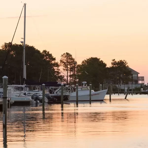
Cape Charles, VA
Cape Charles, VA

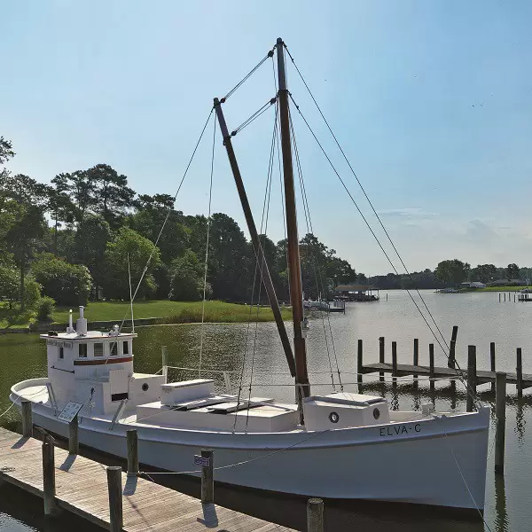
The rails have been removed and the railcars are gone but it is immediately evident that Cape Charles was founded as a railroad town. In 1884 the rail line connected the Eastern Shore of Virginia to Norfolk, VA, with ferries for passengers and railcars. In 1885 construction began on a planned community on a gridwork of streets laid out on a parcel of 136 acres. Most of the original structures still stand. Attracted by the restored homes, small-town ambiance and largely unspoiled landscape of bay and beach, retirees are happily settling here in the immaculately restored houses of the Historic District, all within easy walking distance to the beach and the amenities of Mason Ave.
The 1-mile-long town beach at the end of Mason St. boasts a white, sandy beach (that is very wide when the tide is out), a fishing pier (no license necessary) and a covered pavilion. Weekly (seasonal) concerts and events at the old-style bandstand on the town square round out the offerings of this charming location.
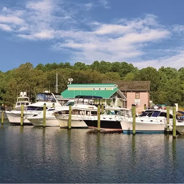
Marinas & Dockage Around Cape Charles, VA
Browse marinas & dockage around the Cape Charles, VA area, or find marinas & dockage specific to your boating location in Explorer.

Navigation Alerts Around Cape Charles, VA
Browse navigation alerts around the Cape Charles, VA area, or find navigation alerts specific to your boating location in Explorer.

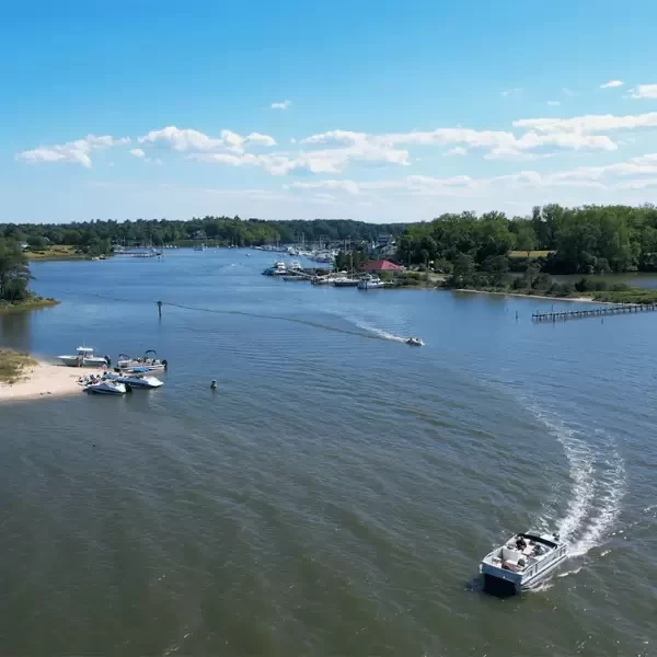
Anchorages Around Cape Charles, VA
Browse anchorages around the Cape Charles, VA area, or find anchorages specific to your boating location in Explorer.

Marinas, Dockage, Service & Navigation
Plan your boating trip around Cape Charles, VA. Browse marinas, dockage, service yards, and navigation alerts.
View More Information to Plan Your Boating Trip In The Explorer.


Hampton, Virginia, is for Space Lovers. This Coastal Virginia Preferred Destination welcomes visitors with the most breathtaking span of historic attractions we have ever seen, from this years 400th-year commemoration of the 1619 arrival of the first Africans to the Hidden Figures of NASA. Located in the middle of the Hampton Roads region and the heart of the Mid-Atlantic, Hampton is a destination that offers an atmosphere of discovery.
 Purchase a Guide
The Waterway Guide Team has gained extensive boating knowledge over the years, and now we are sharing all of the tips, skills and tools we’ve picked up along the way!

The Waterway Guide App makes it easy to leave reviews, use our Explorer, and view Waterway Guide materials, all on the go!


*In-App Purchases Available


