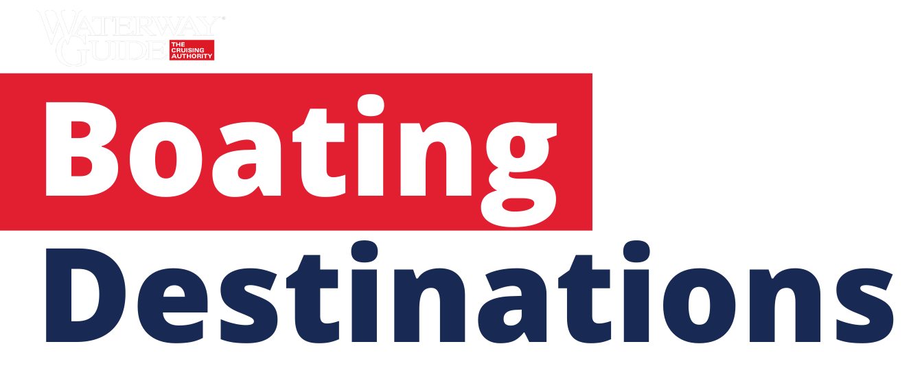
Fleets Bay, VA
Fleets Bay, VA
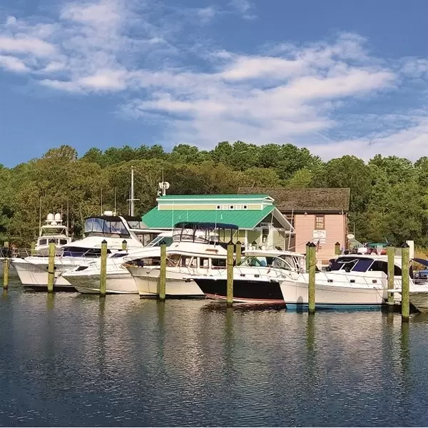
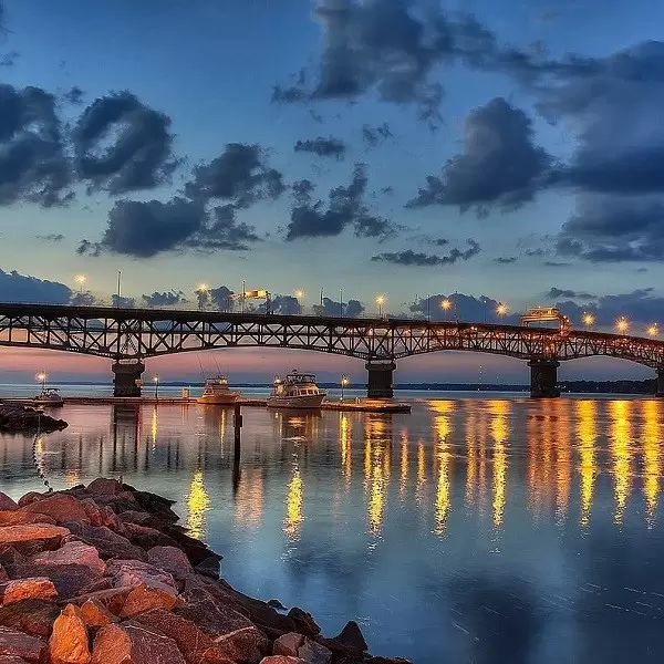
For southbound vessels, Fleets Bay is the entrance to the last four creeks on the Northern Neck: Indian, Dymer, Tabbs and Antipoison. All but Tabbs have depths of at least 10 feet MLW at their entrances and beyond.
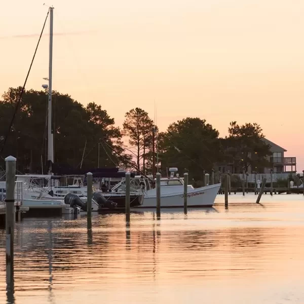
Legend has it that Indians took mud from the bottom of Antipoison Creek (hence the name) to make a poultice that cured Capt. John Smith’s stingray wound suffered during his Chesapeake Bay exploration in 1608.
Marinas, Dockage, Service & Navigation
Plan your boating trip on the Fleets Bay, VA. Browse marinas, dockage, service yards, and navigation alerts.
View More Information to Plan Your Boating Trip In The Explorer.


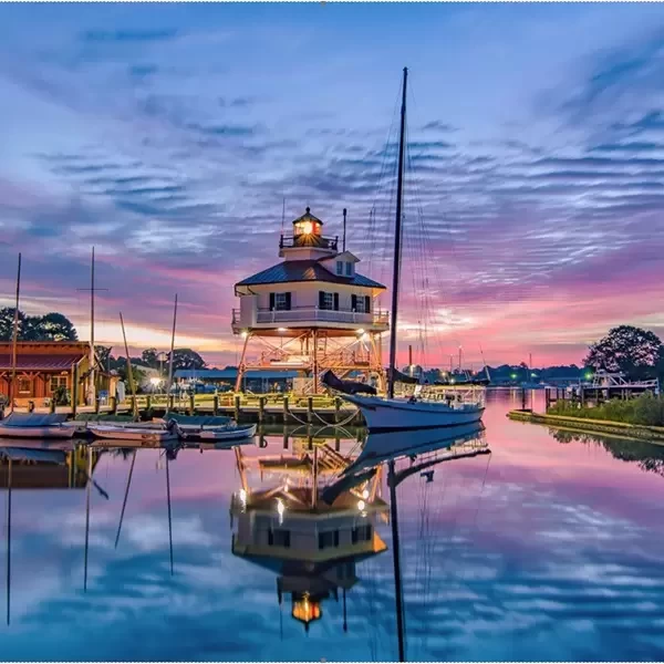
Boating Destinations near the Fleets Bay, VA


 Purchase a Guide
The Waterway Guide Team has gained extensive boating knowledge over the years, and now we are sharing all of the tips, skills and tools we’ve picked up along the way!

The Waterway Guide App makes it easy to leave reviews, use our Explorer, and view Waterway Guide materials, all on the go!


*In-App Purchases Available


