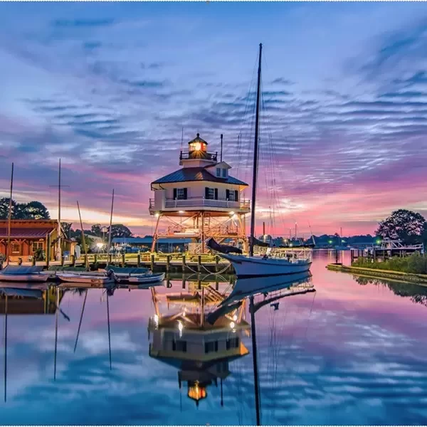
Kent Narrows, MD
Kent Narrows, MD

Kent Narrows, the waterway located along Kent Island’s eastern shore, is especially popular with power boaters. With a wide range of good restaurants lining the waterway and a couple of dock bar hot spots on the north and south sides (along with dockage for patrons and/or nearby marinas) the appeal here is simple: This place is fun!
The first English settlement in what is now Maryland was predated only by colonies at Jamestown and Plymouth Rock. In August 1631, William Claiborne landed here and established an outpost for trading. His settlement is acknowledged now only by an historic marker, but the island has evolved into a base of commercial enterprises and residential population for the county. Embraced by the Chester River on the north and the Eastern Bay on the south, the Kent Narrows channel divides it from the mainland. The first span of the Chesapeake Bay Bridge, formally known as the William Preston Lane, Jr. Bridge, opened in 1952. The second span opened in June of 1973.


 Purchase a Guide
The Waterway Guide Team has gained extensive boating knowledge over the years, and now we are sharing all of the tips, skills and tools we’ve picked up along the way!

The Waterway Guide App makes it easy to leave reviews, use our Explorer, and view Waterway Guide materials, all on the go!


*In-App Purchases Available


